Navionics
Navionics marine charts for precise routing, fishing, and exploration
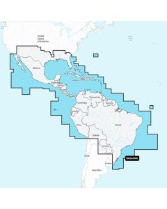
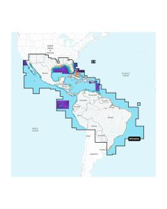
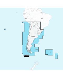
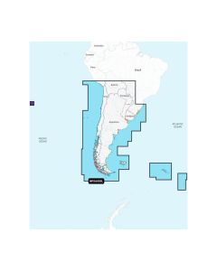
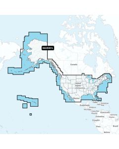
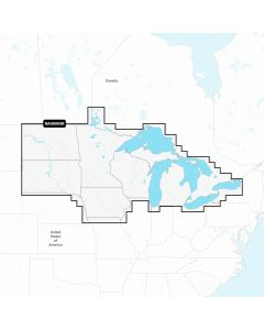
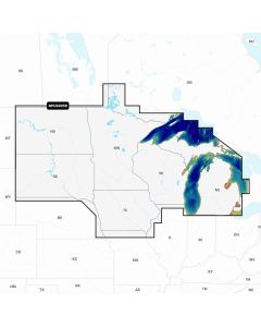
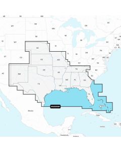
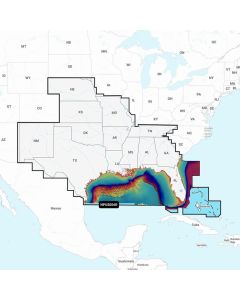
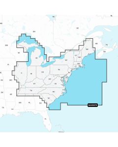
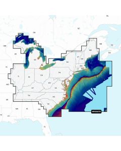
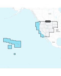
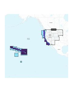
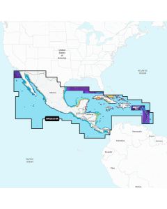
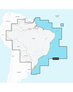
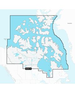
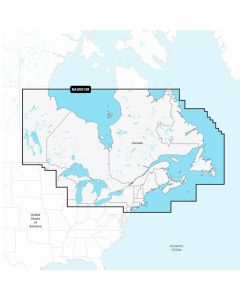
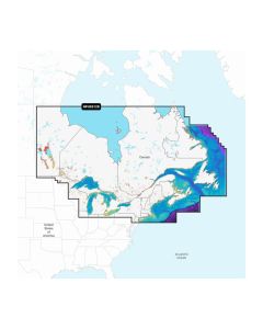
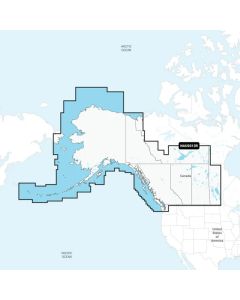
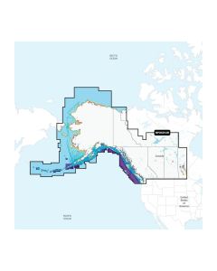
Get clearer contours, smarter routes, and current data on every trip with detailed marine cartography that covers coastal waters and inland lakes. With rich bathymetry, community-sourced edits, and frequent updates, Navionics helps you plan confidently at home and make better decisions at the helm.
As an authorized reseller, 17th Street provides genuine Navionics products with valid U.S. warranties and manufacturer support, plus expert guidance, fast shipping, easy returns, and convenient 17th Street Store pickup. Tell us how and where you boat and we will match the right coverage area, chart layer options, and update plan to your plotter or app workflow.
Start in Marine Electronics and choose the right map set under Cartography for your region and style of boating. Whether you prioritize tight contour intervals for structure fishing, high-visibility shading for safe passage, or advanced routing features that account for tides and hazards, we can help you select the media format and features your system supports.
Need help verifying plotter compatibility, selecting coverage before a trip, or understanding how subscription updates work? Contact our experts for a tailored recommendation, and explore all the prominent brands that complement your navigation setup.


Nikon