

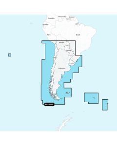
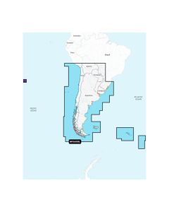
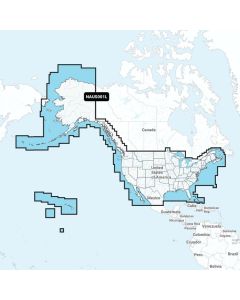
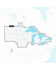
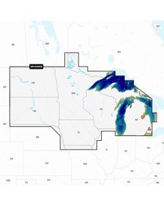
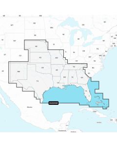
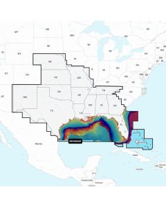
Marine cartography for detailed charts, route planning, and safe navigation
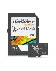
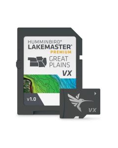
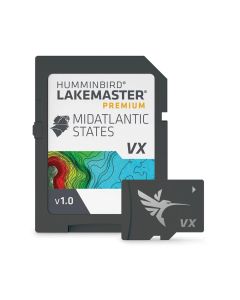
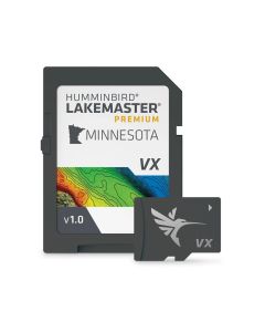
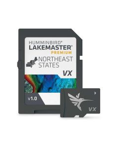
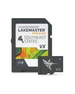
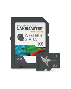
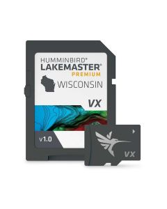
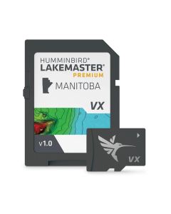
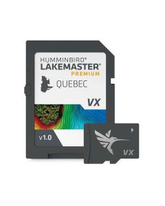
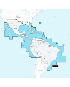
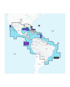
Load accurate charts and fresh map data to plan routes, mark waypoints, and run confidently in unfamiliar water. Start at the parent Marine Electronics hub, then choose the right cards and updates for your plotter so depth shading, contours, tides, and POI data display correctly.
Build a complete helm with clear-view Chartplotter & Fishfinder displays, hull-matched Transducers, hands-free Autopilot, dependable Communication gear, robust Electrical components, precise Navigation aids, and precise-control Trolling Motor options. To compare leading makes in one place, explore all the prominent brands, and for compatibility or coverage advice, Contact our experts at 17th Street.
Shop By
Shopping Options
Providing premium equipment to government, EDU, and B2B corporations for over 30 years.
Shop Now


Nikon
Real
Deals
Nikon
Real
Deals